
Investigating the co-evolution of Congo River channels and Peatlands
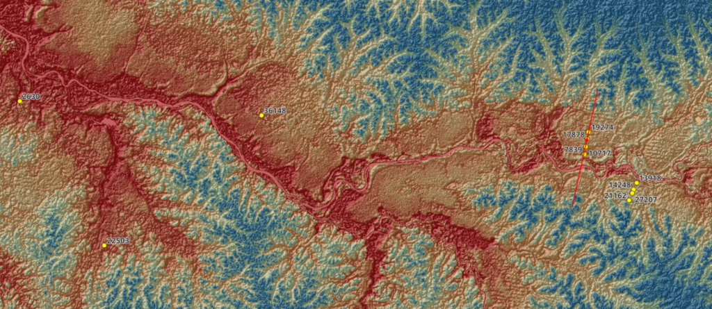
The Congo River is the second largest river basin on the planet. It is one of the least researched basins due to its vast scale, access challenges and political stability issues. Increasingly, remote sensing is providing new tools to study this fascinating river system and uncover new river system understanding. The Cuvette Central is a vast wetland area in the centre of the Congo Basin which contains large and globally important peat deposits (Dargie et al 2017).
Many of these peat deposits are located in the river floodplain and are close to the river channels. Dating of peat samples from these locations shows that they are old enough that we would have expected the river channel to have eroded away these deposits due to natural channel migration. However, this does not appear to be the case and our working hypothesis is that the river channel conveyance and peatland growth have co-evolved as a system, as has been documented elsewhere in other peat deposits (Nanson 2010).
In this PhD you will use a range of remote sensing data and methods to undertake an analysis of the river channels and peatland deposits. This will involve geospatial mapping of large areas of the Congo wetlands, applying geomorphological categorisation methodologies (for example sinuosity coefficients). It will also involve developing new methods of exploring/monitoring water fluxes between the main river and the floodplains. For example, using data from the NASA Surface Water and Ocean Topography (SWOT) satellite mission, launched in December 2022 or analysis of Sentinel 1 multispectral images to estimate suspended sediment concentrations. The detail of this floodplain-channel connectivity is currently unknown and remains one of the key unsolved hypotheses for the basin, as outlined by Alsdorf et al. (2016). Identifying these fluxes are fundamental to our understanding the ecology and hydrology of the basin’s environmentally crucial wetland.
This project builds on the experience and data available from two recent research projects, the Royal Society funded Congo River users Hydraulics and Morphology project (CRuHM) and the NERC funded CongoPeat project. The supervision team is drawn from these two projects and provides significant experience in the basin, both of remote sensing and field work. You will also work with colleagues in CRREBaC, at the University of Kinshasa, in the Democratic Republic of Congo, to gain a more grounded understanding of these river systems.
This research will provide our first understanding of why Congo River peat deposits and river channels appear to be in a relatively stable equilibrium for such long periods of time (tens of thousands of years). This project will also look to the future and explore if climate change, as well as deforestation and mining in upstream areas might increase sediment concentrations and change flows in these rivers, potentially destabilising this long-term equilibrium, leading to a catastrophic loss of ancient peatlands.
References:
Alsdorf, D., Beighley, E., Laraque, A., Lee, H., Tshimanga, R., O’Loughlin, F., Mahé, G., Dinga, B., Moukandi, G. and Spencer, R.G., 2016. Opportunities for hydrologic research in the Congo Basin. Reviews of Geophysics, 54(2), pp.378-409.
Dargie, G.C., Lewis, S.L., Lawson, I.T., Mitchard, E.T., Page, S.E., Bocko, Y.E. and Ifo, S.A., 2017. Age, extent and carbon storage of the central Congo Basin peatland complex. Nature, 542(7639), pp.86-90.
Nanson, R., 2010. Development of mountain peatlands in stable equilibrium with open-channel hydraulics: A new concept in peatland formation and maintenance. Terra Australis, 32, pp.443-456.