
Geotechnical Asset Condition Monitoring with Low-cost Lidar and Machine Learning
Project Summary
The technology underlying autonomous vehicles, including accurate lidar surveying and feature detection, could be pivotal to managing UK’s aging transportation infrastructure. The technology used to navigate, detect and avoid obstacles, and autonomously drive could be used to assess the condition and rates of deterioration of geotechnical assets due to various earth and geological processes from landslides to heavy rainfalls and extreme weather conditions. This project would be a step towards the development of smart-infrastructure, where infrastructure health or condition can be obtained through remote monitoring and automated means. Implementation of this technology could result in the maximisation of the performance and safety of UKs transportation infrastructure while contributing to direct maintenance decision making through a risk-based decision framework. The project will involve the use of low-cost lidar and machine learning tools to advance geotechnical condition assessment along UK’s transportation infrastructure.
The Opportunity
The primary method of asset condition management on the UK rail network is through site-based visual inspections, limited instrumented sites which are read multiple time per year, and some case studies involving remote failure monitoring using cameras and remotely monitoring movement sensors. There is an opportunity to deploy remote condition monitoring using low-cost lidar, such as those being deployed in autonomous vehicles, either through mobile-based deployment or fixed stationary systems at key asset sites. Remote monitoring can be used for two main purposes: Remote failure monitoring, which aims to identify conditions preceding potential failure of geotechnical assets and allows risk-reduction through early warning; or condition monitoring which aims to assess asset deterioration over time. Evidence-based determination of asset deterioration is a vital component in the development of whole life cycle decision support tools for geotechnical asset management, including renewal, refurbishment and maintenance.
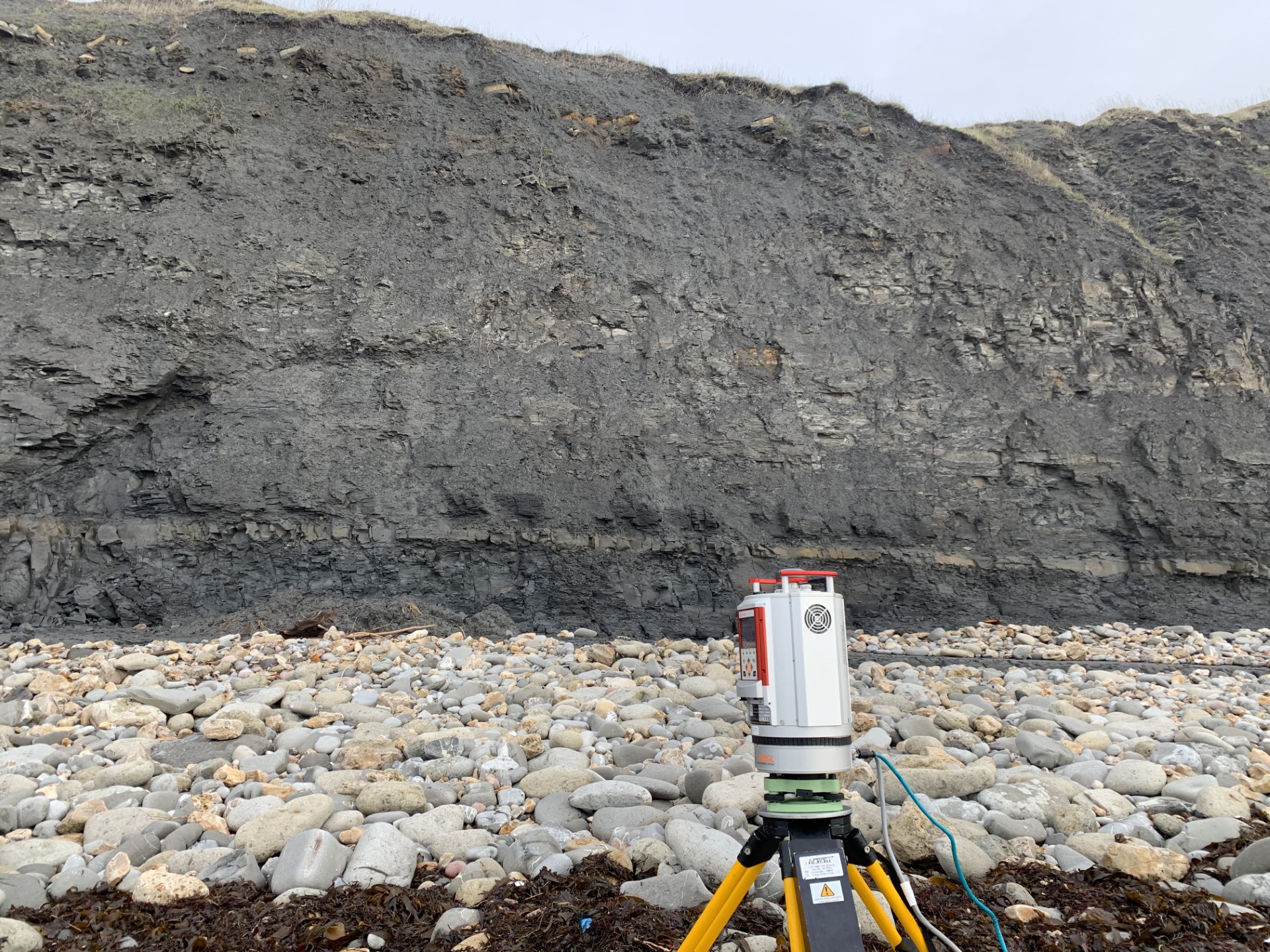
PhD Project
The primary aim of this research project is to develop and implement a low cost lidar monitoring program to assess the condition of geotechnical assets using machine learning techniques. The project will involve development of an automated lidar system, deployment and monitoring of geotechnical assets, and investigation into object detection and machine learning tools for geotechnical asset condition assessment. The deployment could include asset types such as embankments, natural and cut slopes, retaining walls, tunnels and bridge foundations.
The project will be supported by a range of industry partners including Mott MacDonald, National Highways and Network Rail. Support will include data access, site access, logistical support and sharing of expertise.
This project fits NERC applied geoscience themes as it involves studying and modelling geological processes that affect the condition of geotechnical assets along major transportation routes. The project involves using low-cost lidar and machine learning tools to assess and model rates of deterioration of geotechnical assets. This will include assessing surface condition, erosion, cracking, deformation, and time series trends. This type of monitoring can contribute to transportation infrastructure safety and performance and could allow risk-based maintenance decisions thereby reduces downtime and outages.